Walking talking geocaching / Géocaching en marche et en mots
‘Are they all yours?’ Sarah asked as she looked at the four acorns sitting in the car, parked beside hers.
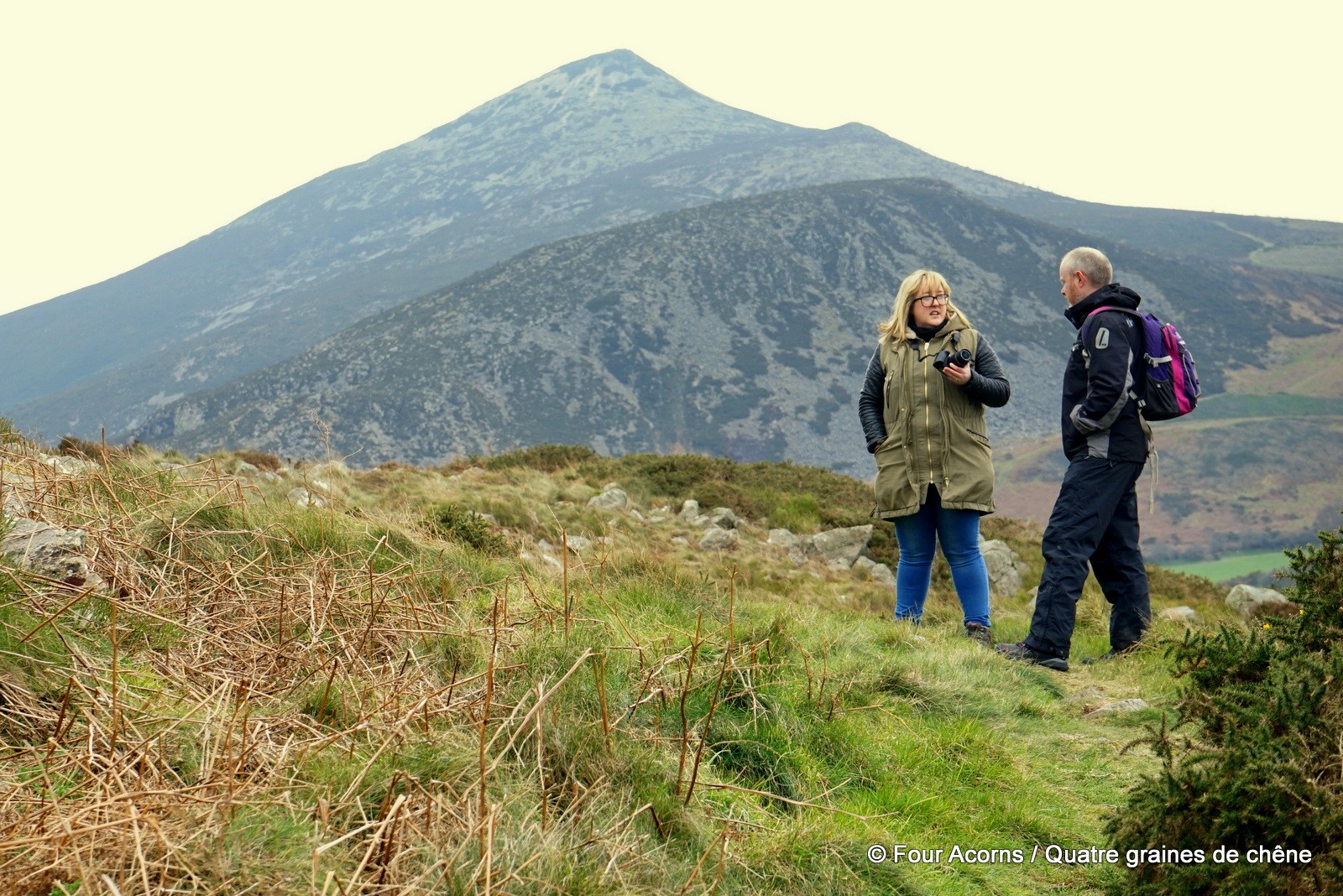
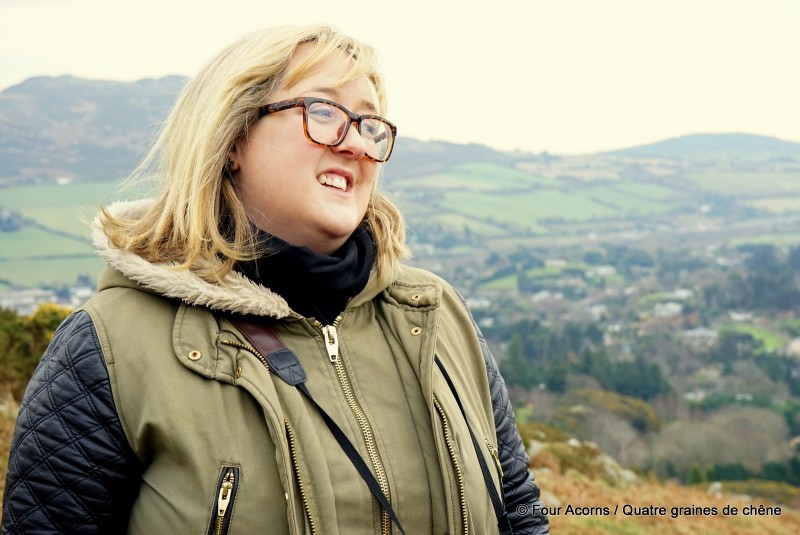
Sarah is a self-confessed geocaching addict who blogs at The Geocaching Junkie. Last week, she asked for an interview with us, as a family just starting off. Instead of emailing me a few questions, she suggested we went geocaching together. This is how we ended up taking the short hike to Kyle Cache 1 (GC322). It is located near the summit of a hill called Carrigoona Commons East – it rolls off the tongue, doesn’t it?
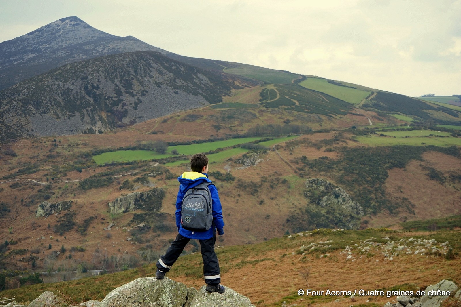
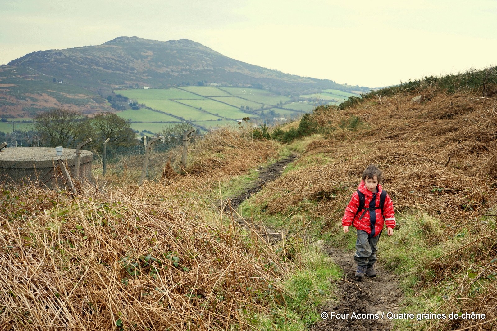
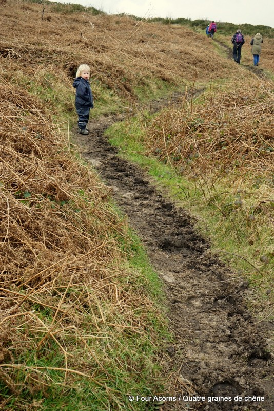
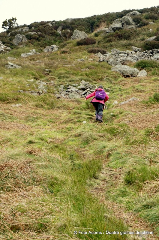
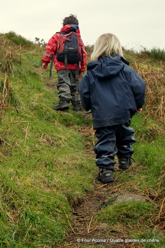
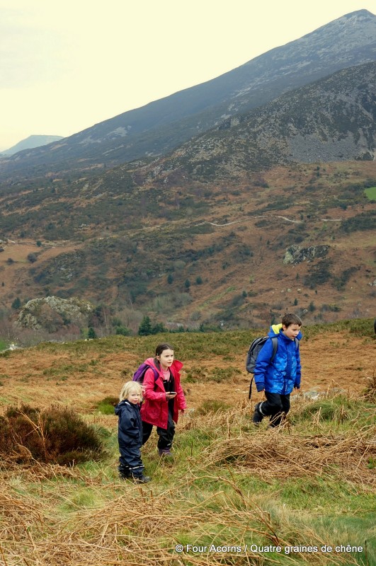
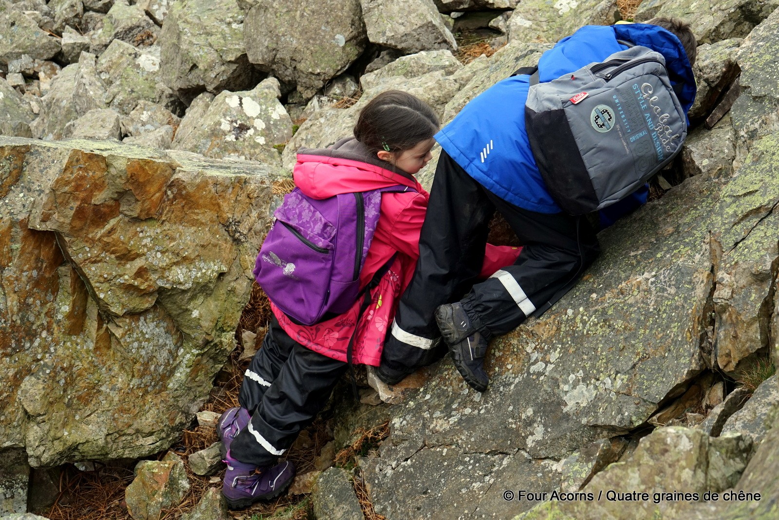
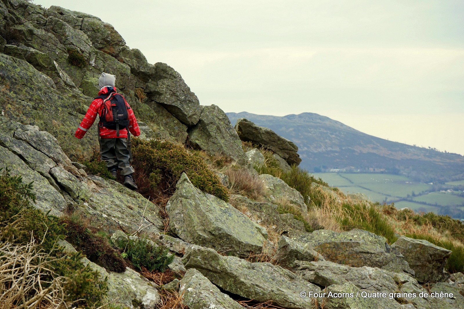
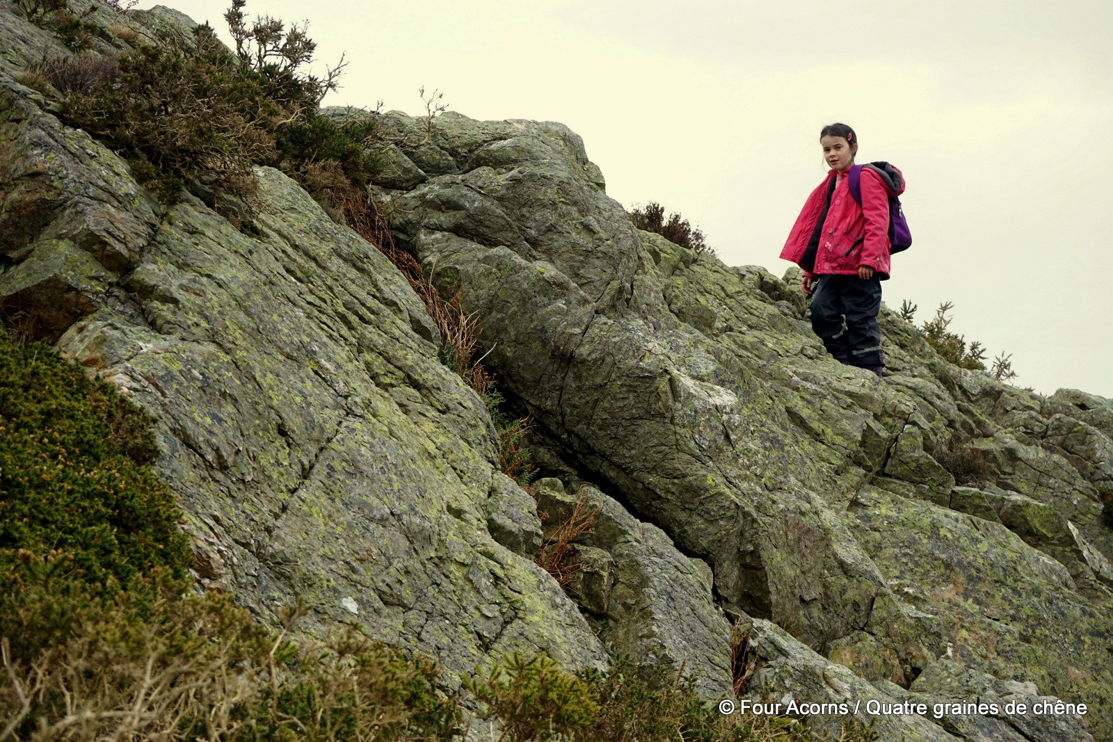
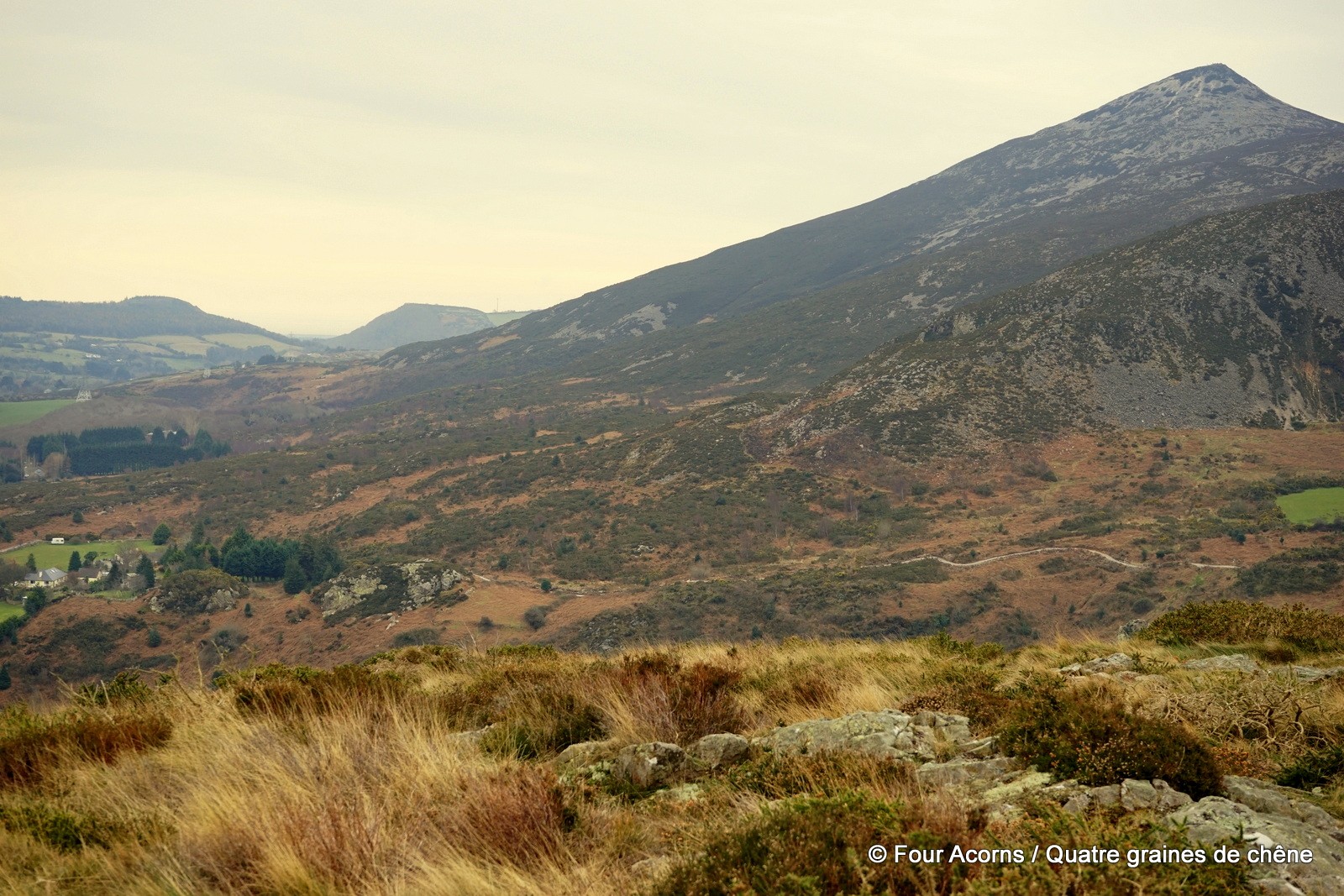
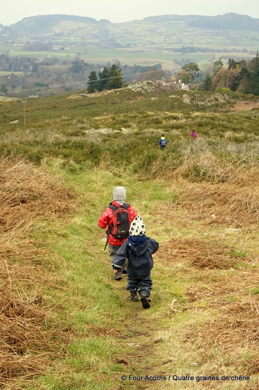
This mouthful of a name, and rather nondescript cache title, tell nothing of the panoramic views the ascent offers as soon as one leaves the car park, beside a house at the top of the Rocky Valley Drive, Kilmacanogue, Co Wicklow. Ironically, coordinates (N53° 10.494, W006° 09.284) are necessary to find this particular parking spot. From there, it takes less than 15 minutes to reach the top, along a boggy trail and with an easy scramble to finish off.
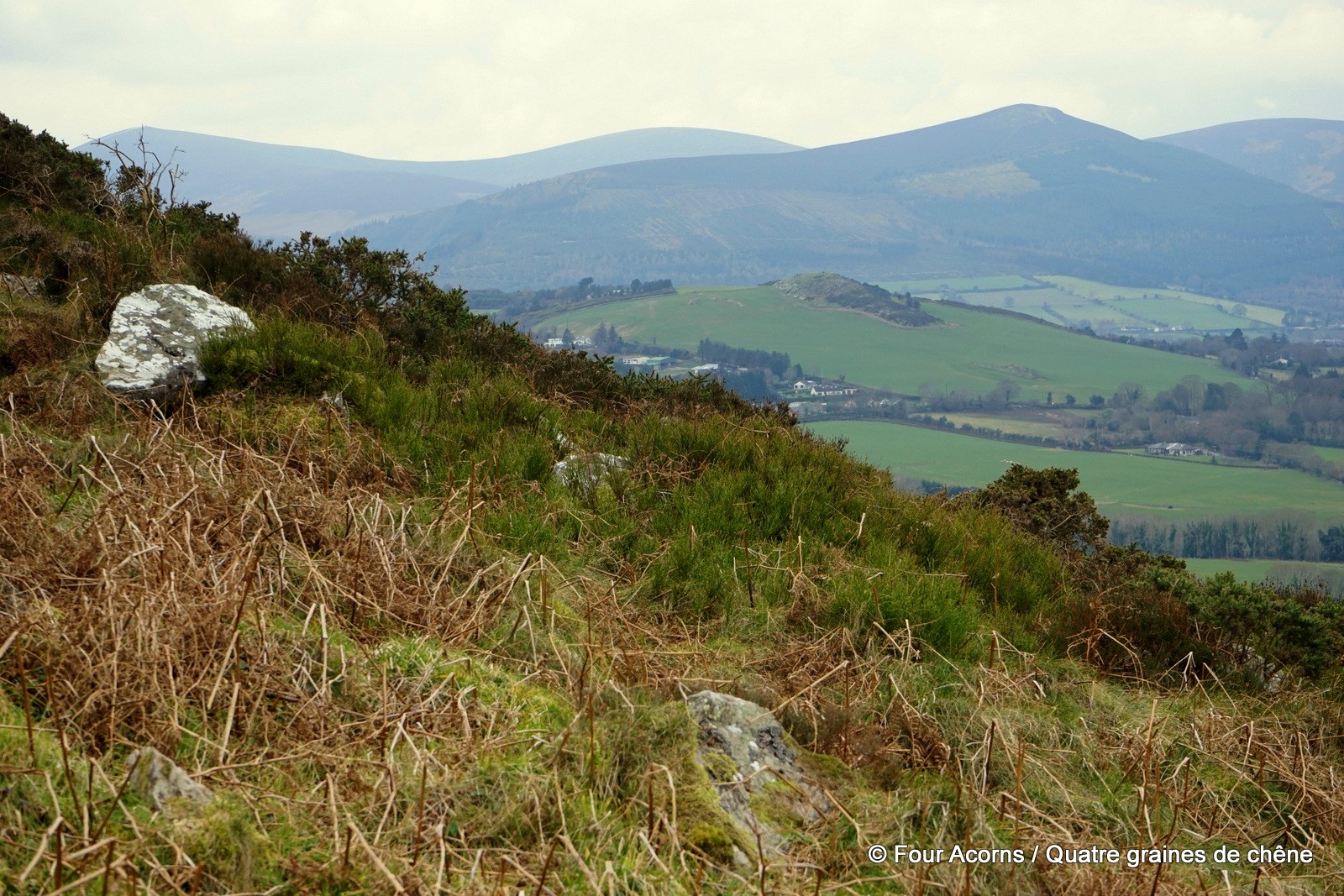
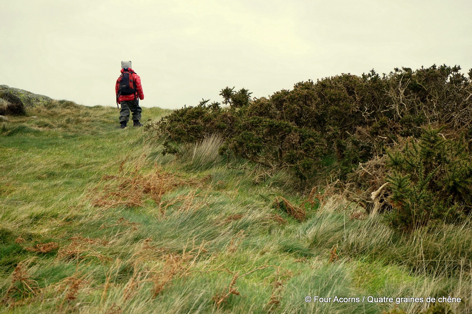
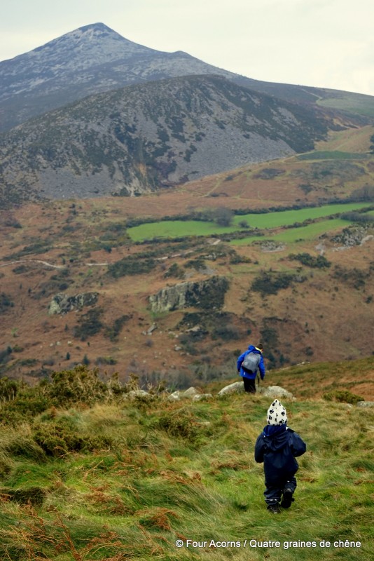
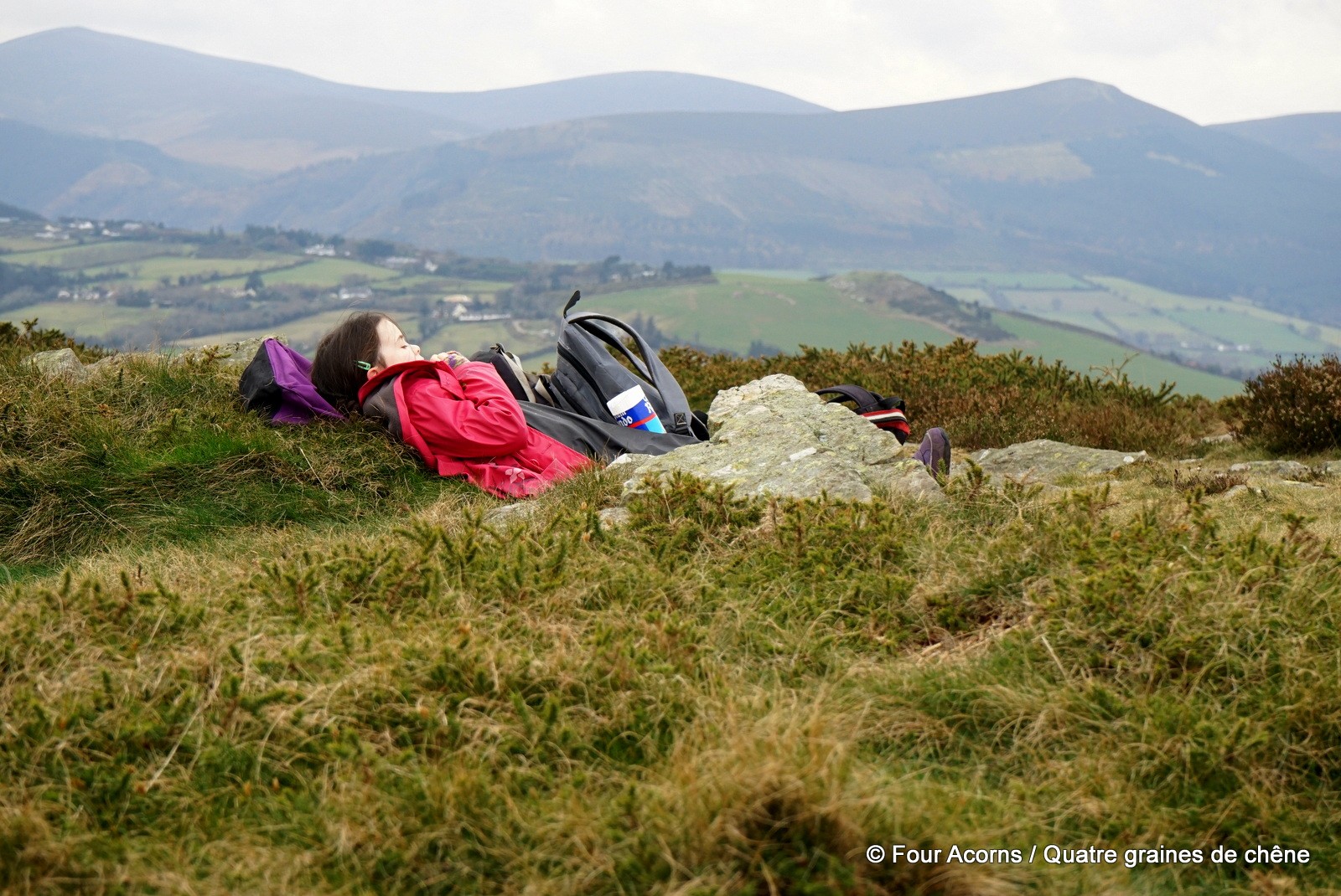
Had it not been for geocaching, we would never have even thought about this great-value-for-effort walk. With the village of Kilmacanogue at our feet and the Great Sugarloaf towering above, the views stretch to the north as far as Dalkey Island (and probably Howth on a clear day), sweeping over Bray, Bray Head, the Little Sugarloaf, and all the way to the Glen of the Downs to the south.
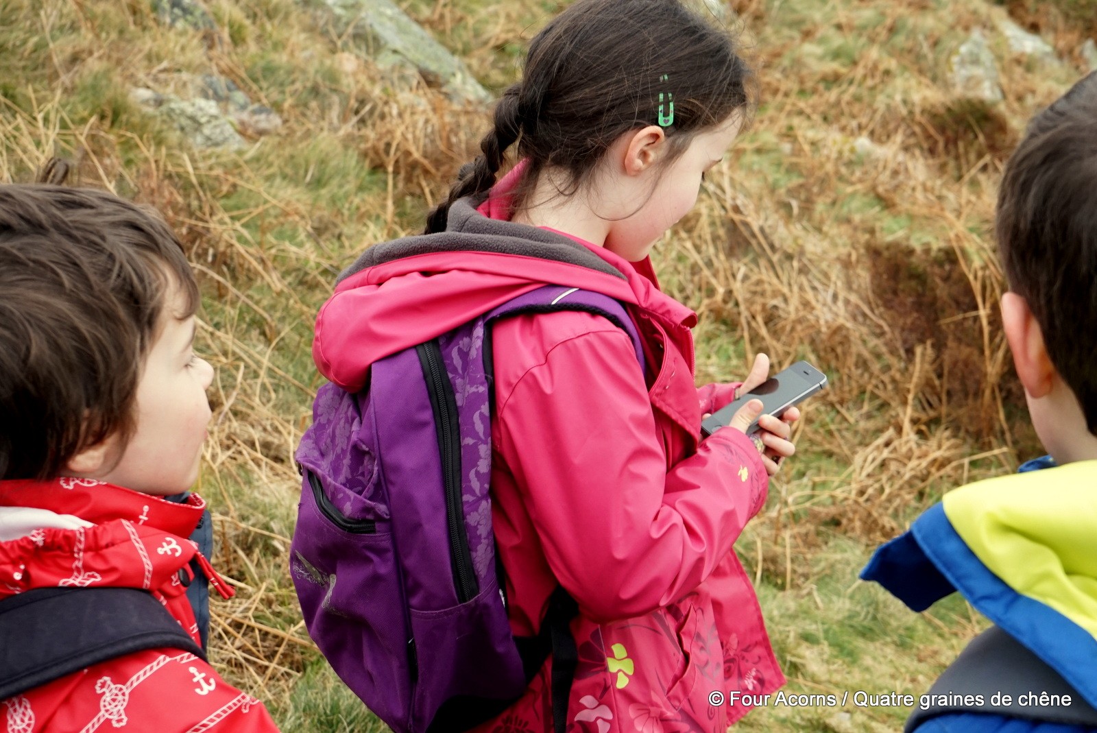
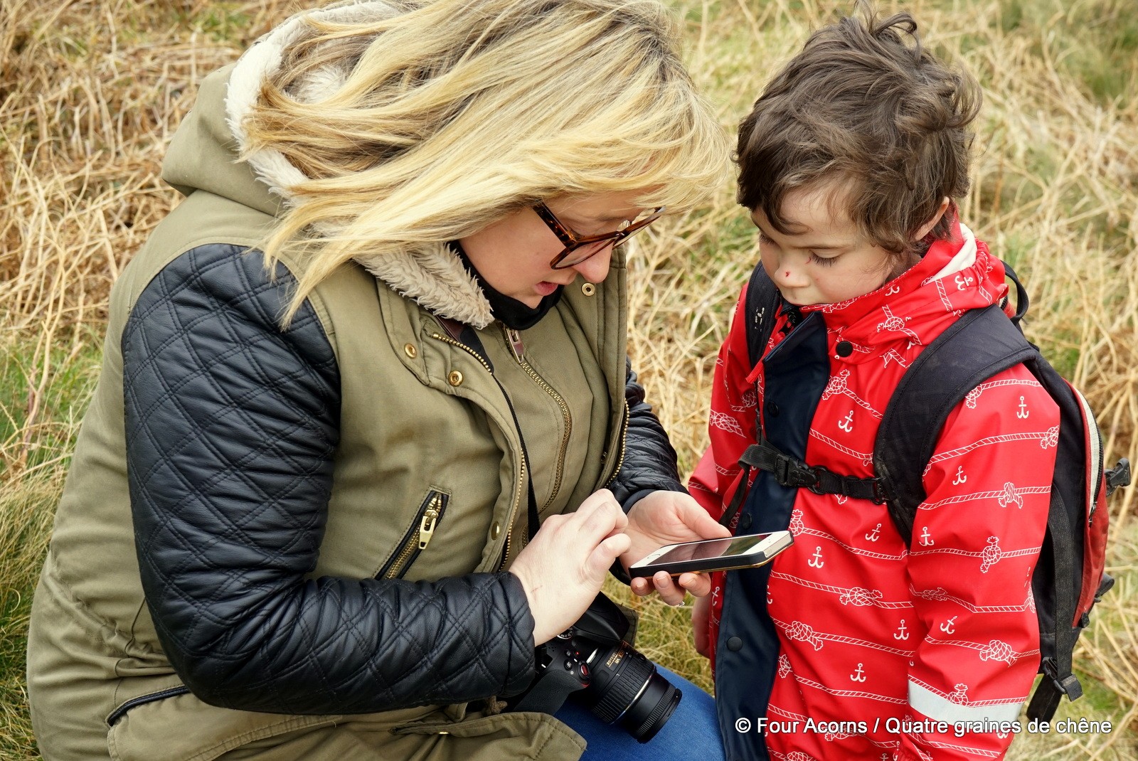
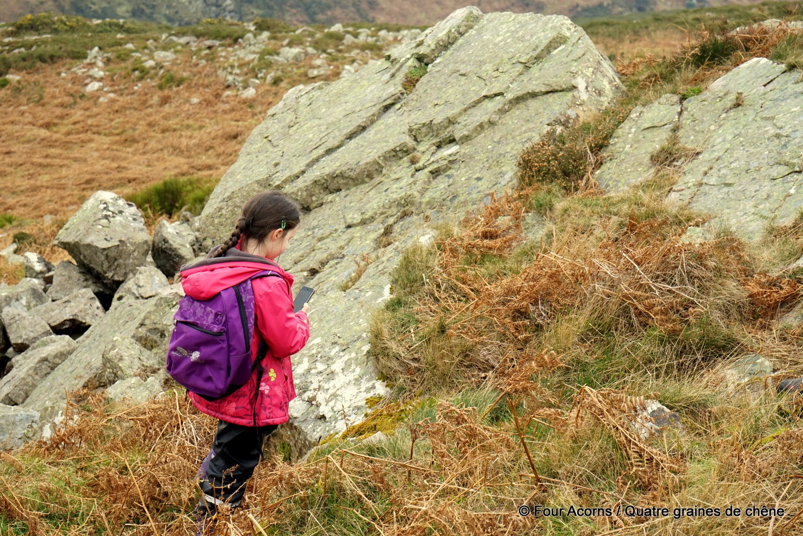
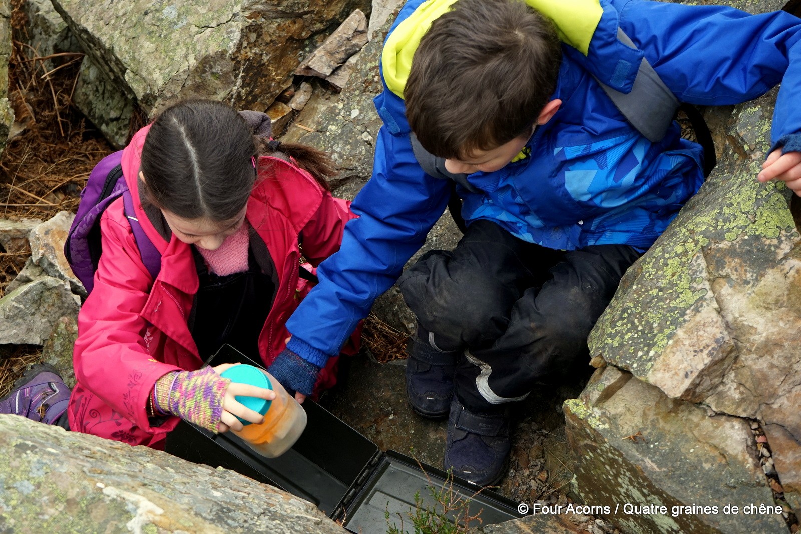
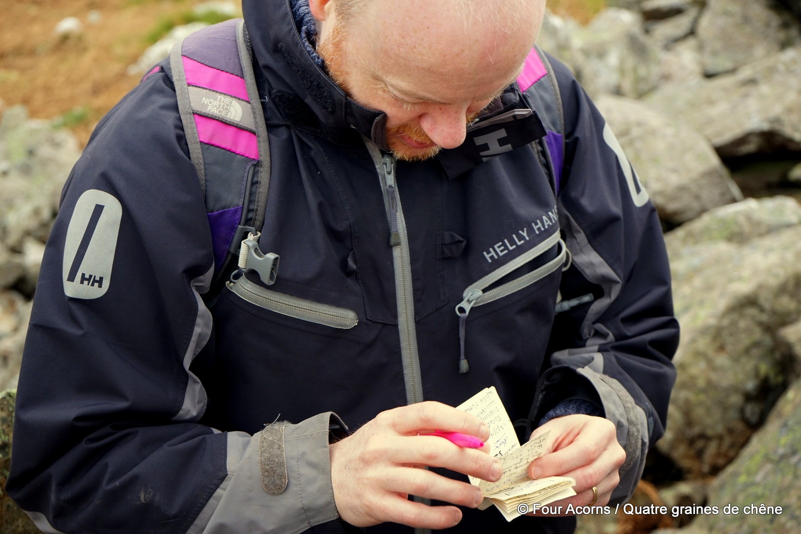
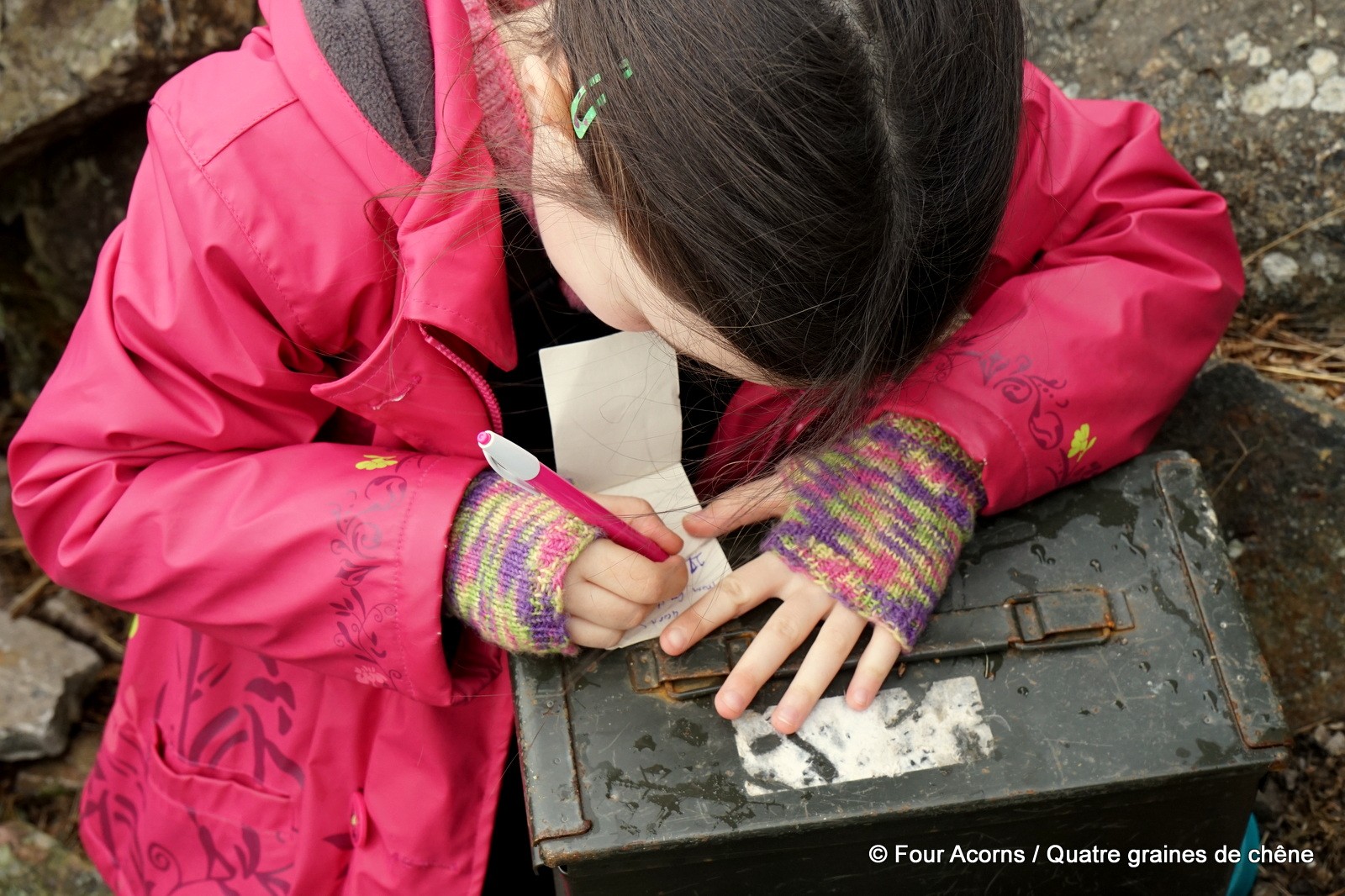
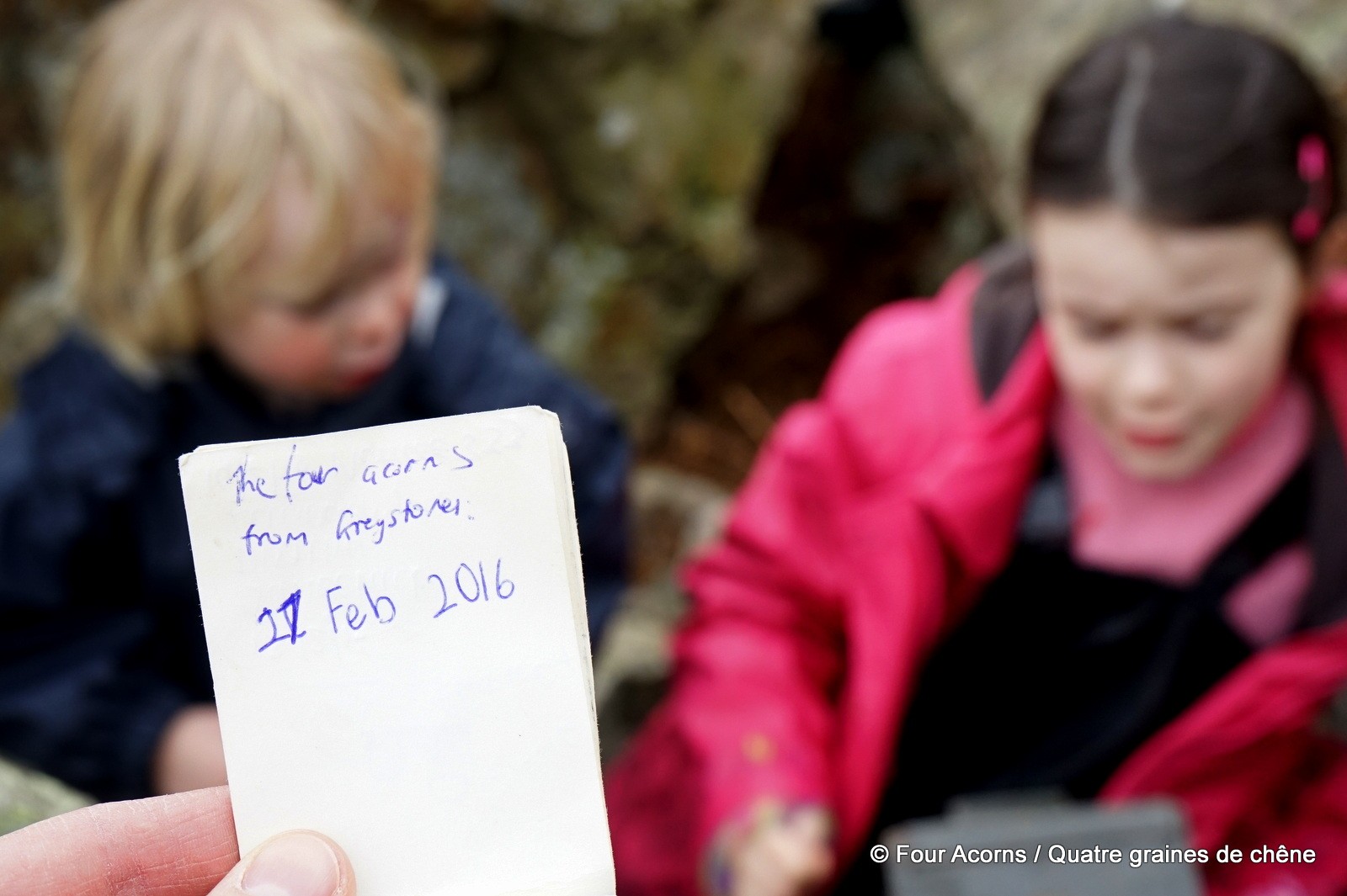
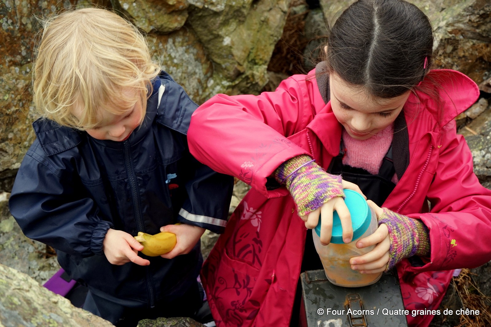
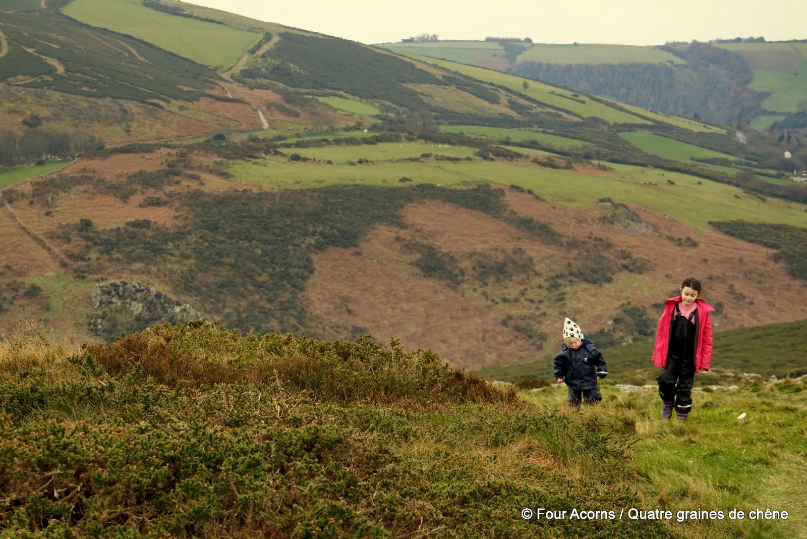
Mermaid and Jedi led the search for the cache, with Mermaid plotting the course on Brian’s phone. Squirrel got to use Sarah’s phone compass for a few minutes. Once again, Jedi spotted the ammo can amongst some rocks. Mermaid dated our log entry.
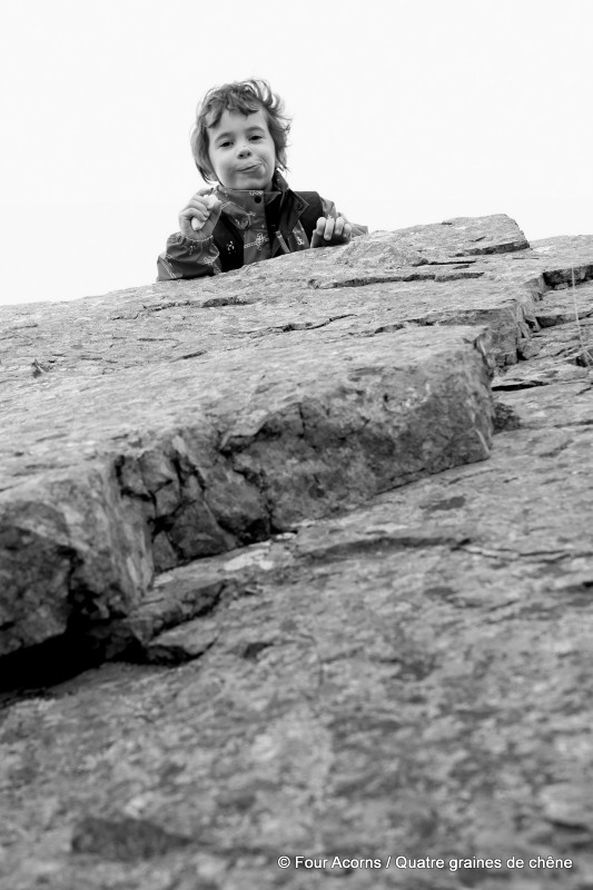
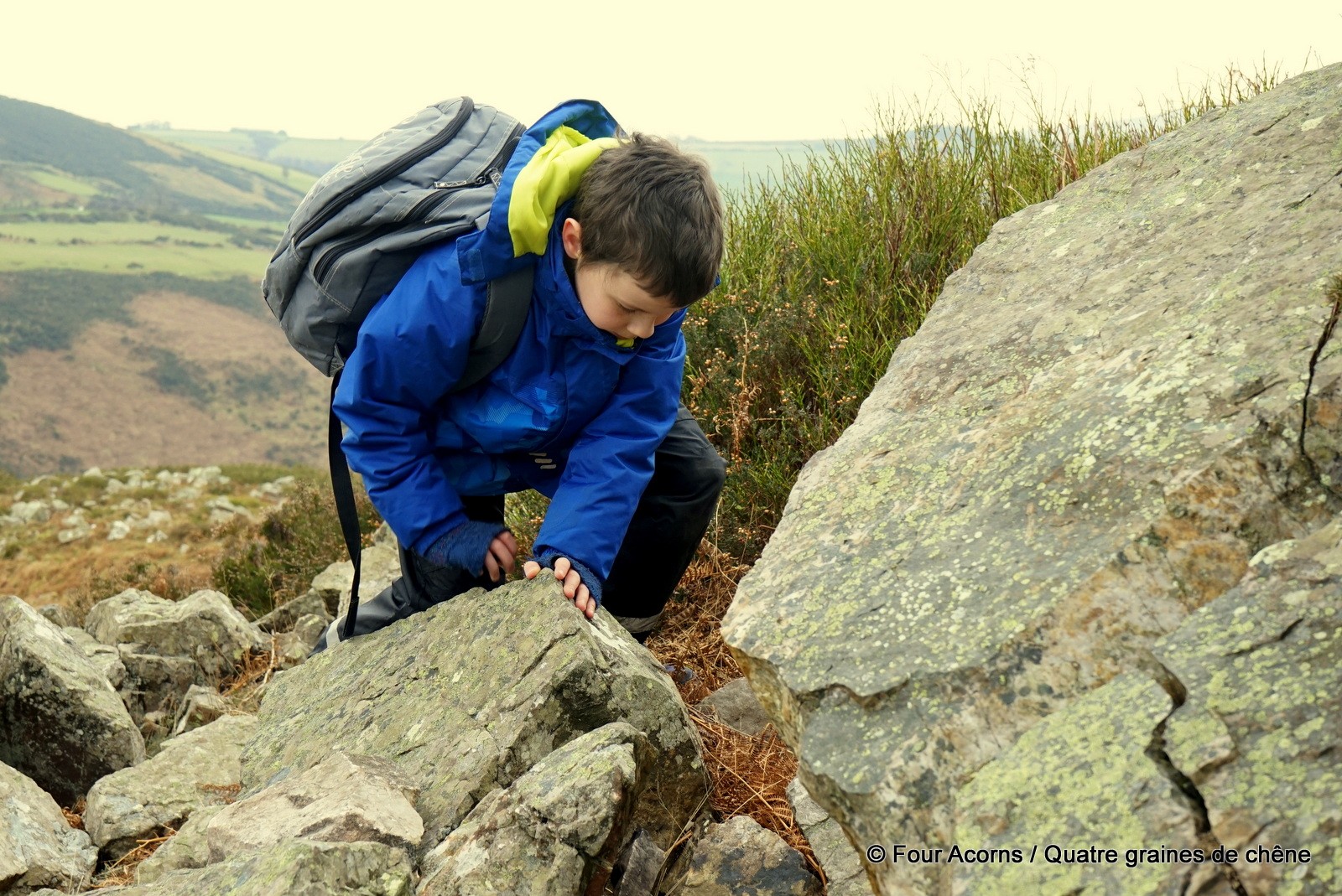
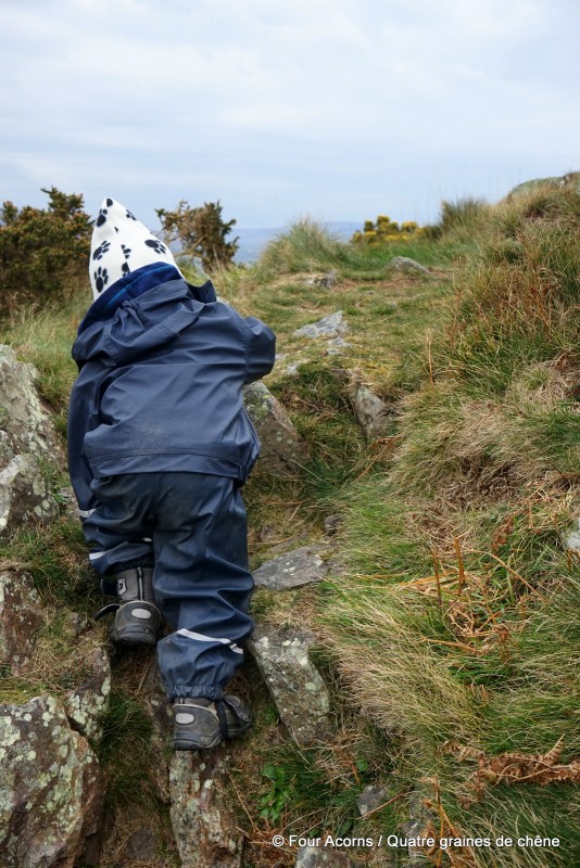
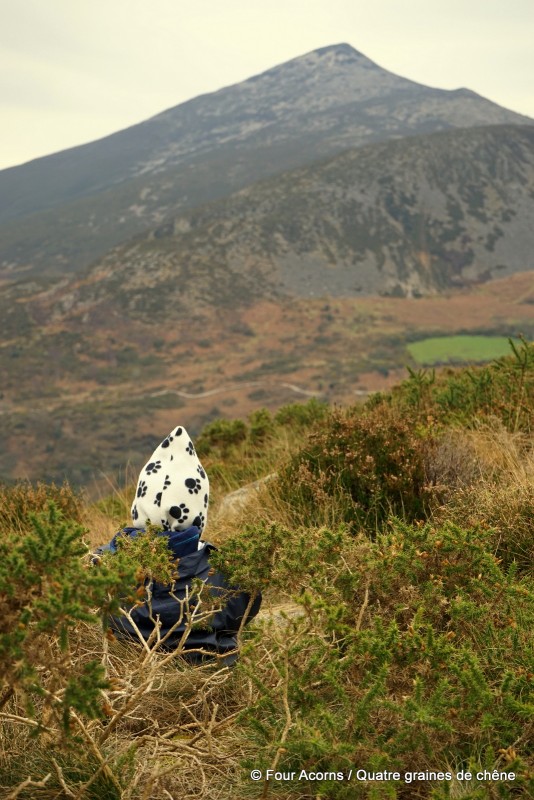
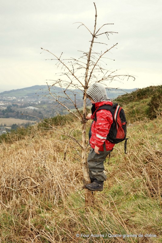
For his first walk on his own two feet, rather than in a piggyback in the sling, Pebbles turned out to be nimble-footed, walking up with his hands in his pockets, sliding down, scrambling over rocks, and snacking among the heather with a view over the Great Sugarloaf.
Sarah’s blog post is now available to read here.
“Ils sont tous à vous ?”
Ce furent les premiers mots de Sarah à la vue des quatre graines de chêne installées dans la voiture, garée à côté de la sienne.
Sarah, de son propre aveu une accro de géocaching, écrit un blog intitulé The Geocaching Junkie. La semaine dernière, elle m’a contactée parce qu’elle souhaitait interviewer une famille débutant en géocaching. Au lieu de m’envoyer quelques questions par email, elle suggéra de nous accompagner pour notre prochaine sortie. C’est ainsi que nous avons fait la courte balade menant à Kyle Cache 1 (GC322), sous le sommet d’une colline baptisée Carrigoona Commons East. Un nom facile à retenir, n’est-ce pas ?
Ce toponyme imprononçable et ce titre de cache banal ne disent rien de la vue panoramique qu’offre la balade dès qu’on quitte le parking improvisé, à côté d’une maison au bout de Rocky Valley Drive, Kilmacanogue, Co Wicklow. Détail ironique, il faut des coordonnées (N53° 10.494, W006° 09.284) pour localiser le parking en question. De là, un sentier boueux rejoint le sommet en une quinzaine de minutes, avec un peu de crapahute pour finir.
Sans le géocaching, jamais nous n’aurions tenté cette balade gratifiante pour si peu d’effort. Avec le village de Kilmacanogue à nos pieds et le Great Sugarloaf en face, la vue s’étire jusqu’à l’île de Dalkey au nord (et probablement jusqu’à Howth par temps clair), en passant par Bray, Bray Head, le Little Sugarloaf et jusqu’au Glen of the Downs au sud.
Sirène et Jedi menaient les recherches, Sirène déterminant le cap à suivre sur le smartphone de Brian. Ecureuil a utilisé la boussole du téléphone de Sarah pendant quelques minutes. Cette fois encore, c’est Jedi qui a repéré la boîte métallique sous des rochers. Sirène a inscrit la date sur le carnet de bord.
Pour sa première balade à pied, plutôt que sur mon dos, Caillou s’est avéré avoir déjà le pied sûr, marchant les mains dans les poches, glissant sur les fesses, crapahutant sur les rochers, et croquant un biscuit assis dans la bruyère, avec vue sur le Great Sugarloaf.
L’article de Sarah est désormais disponible ici, en anglais seulement.
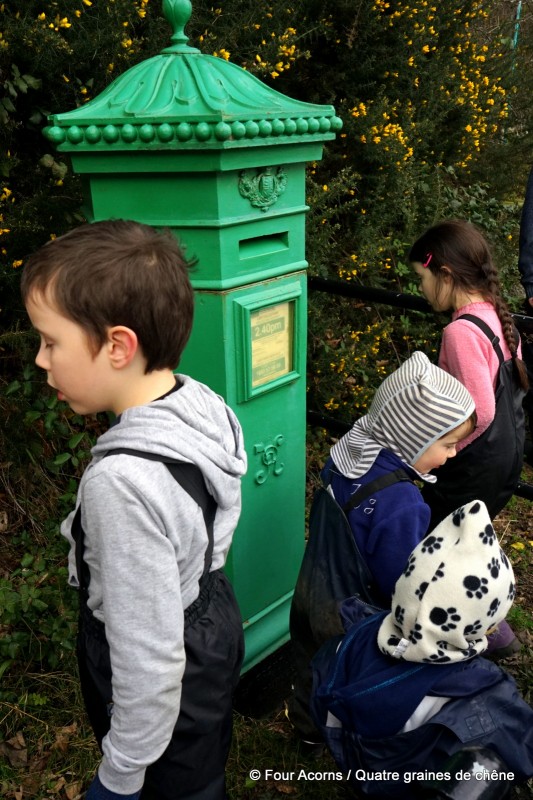
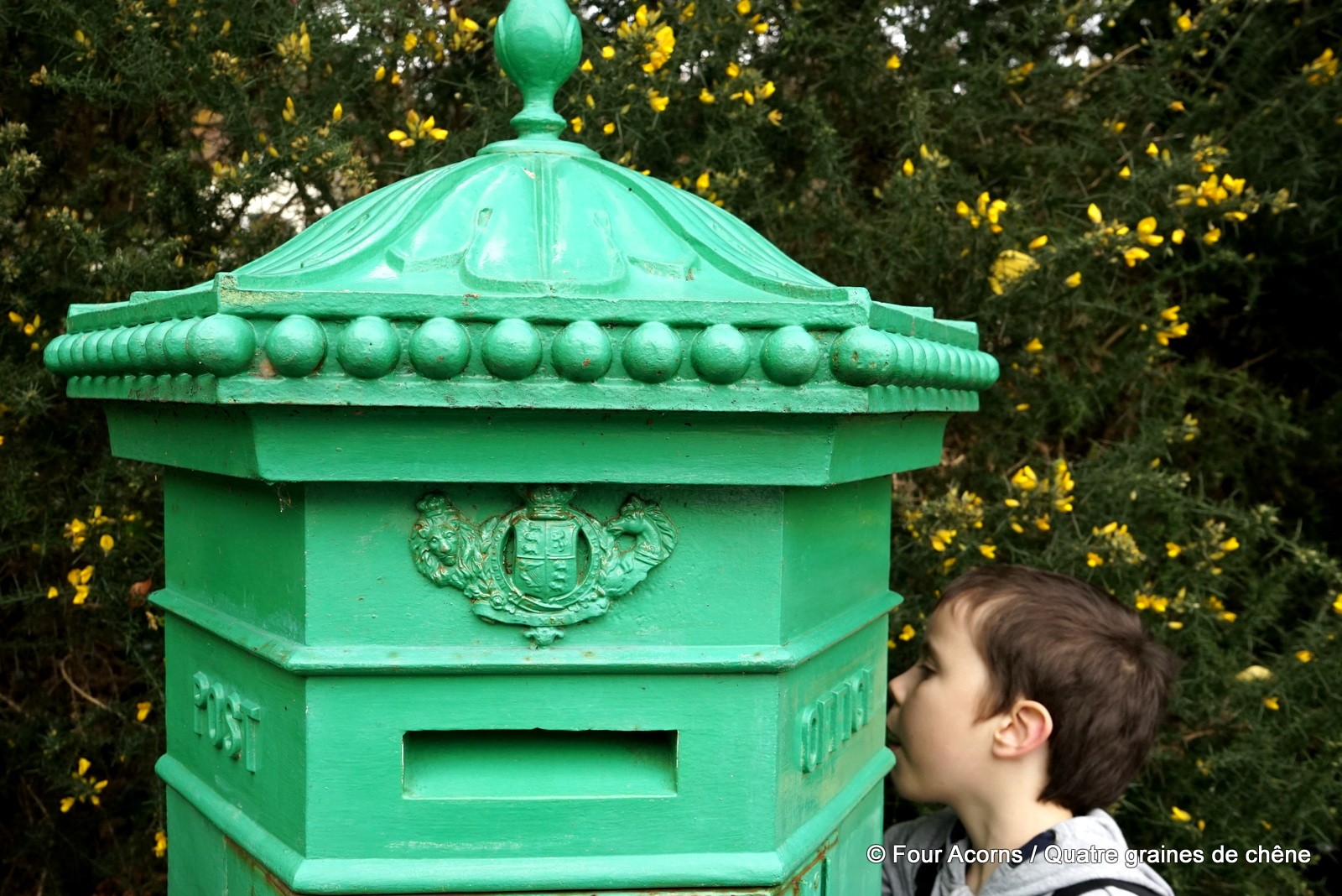
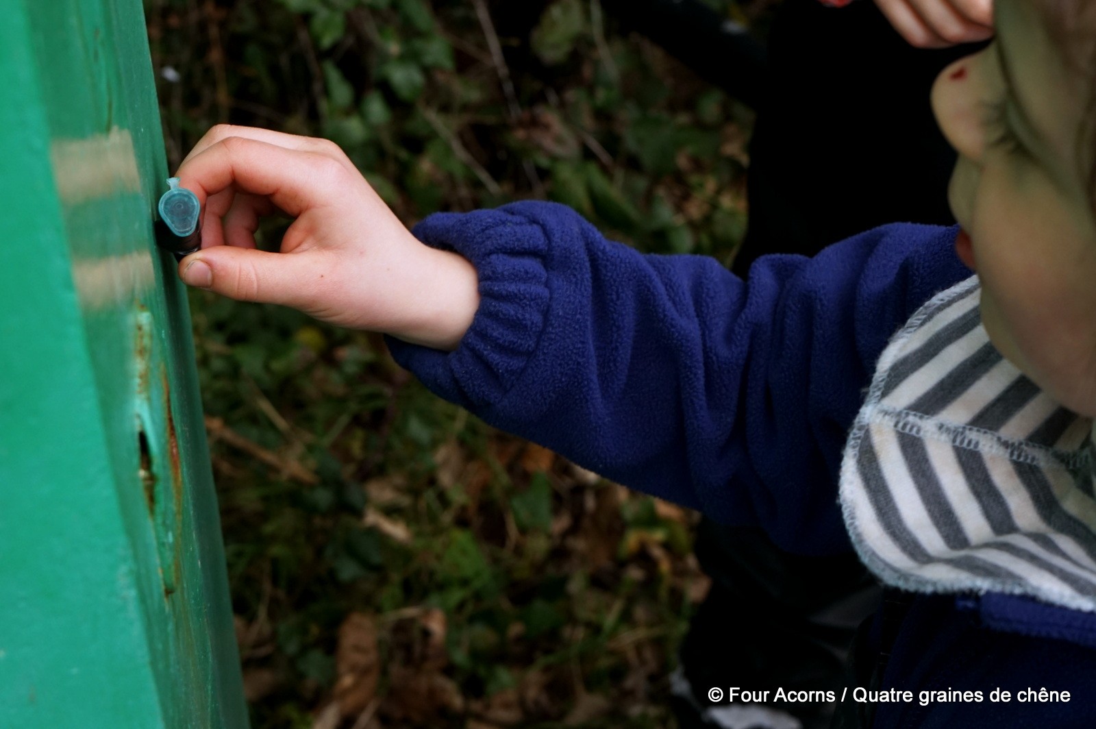
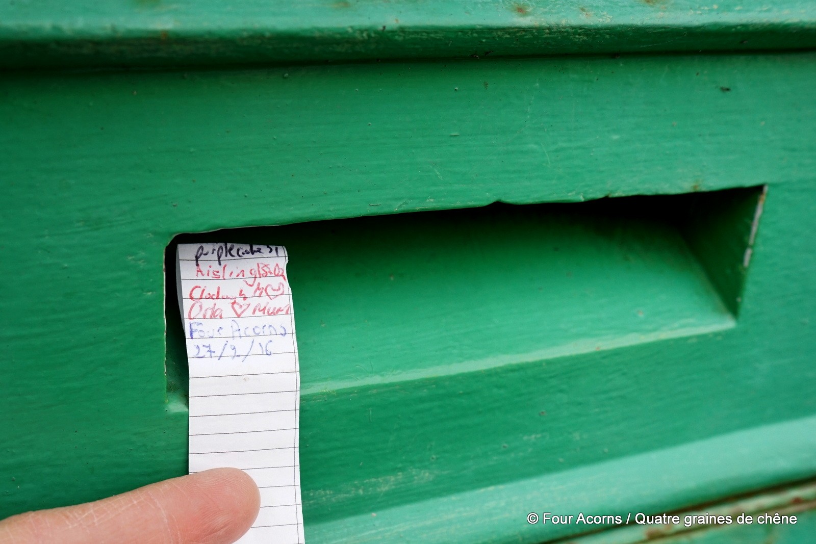
Before heading back home, we stopped on the wayside by the R755 to look for another cache – Oh Crumbs… (GC4Z0AD).
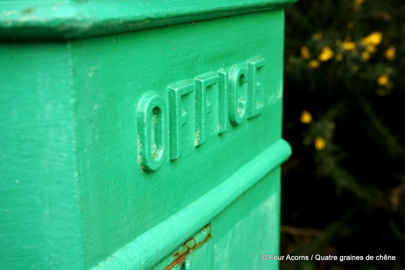
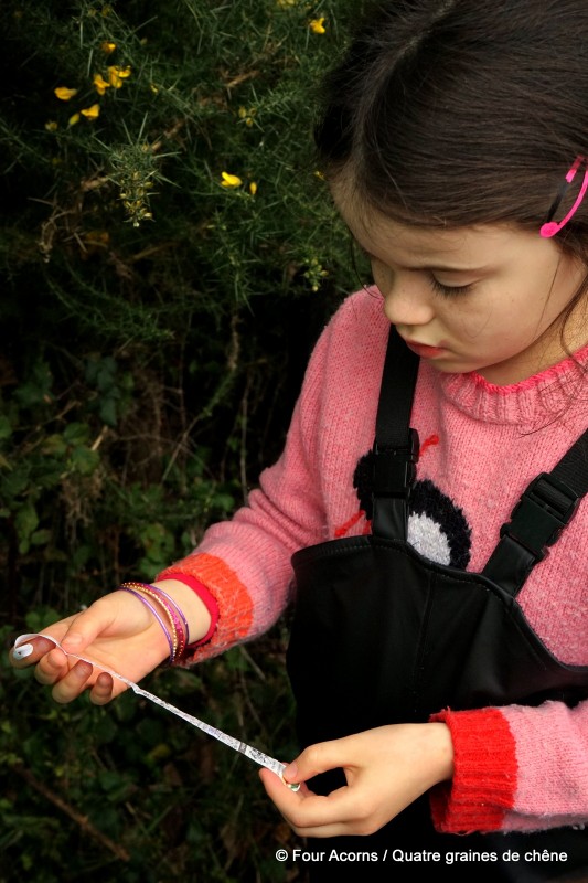
This was our first nano cache – it wasn’t more than 5cm/2in in length, with the logbook tightly rolled inside. The acorns enjoyed searching and finding something quite different from our previous caches. As a bonus, this cache highlights a little known aspect of Irish life.
It is hidden on one of the last Penfold postboxes remaining in Ireland, in constant use for 150 years. Such six-sided red postboxes were introduced between 1866 and 1879, when Ireland was under British rule. In the early 1920s, the newly independent Irish state immediately decided to have all postboxes painted green.
For additional information
![]() To find out more, create an account, and get started, click here. To play, you will need to download the Geocaching Intro app (free) to your smartphone.
To find out more, create an account, and get started, click here. To play, you will need to download the Geocaching Intro app (free) to your smartphone.
 The Geocaching Junkie brilliantly retells the ‘adventures of an Irish geocaching junkie’. This post contains all you need to know to become a geocacher in Ireland and beyond. You can also read her take on geocaching with children here.
Getting there
Travelling northbound (Dublin) on the N11, take Exit 8 (Kilmacanogue), then the first exit on the roundabout, signposted for Roundwood and Glendalough (R755). At the next roundabout, take the second exit and continue straight ahead on the R755.
Travelling southbound (Wexford) on the N11, take Exit 8 (Kilmacanogue), immediately after the Topaz petrol station, following signposts to Roundwood and Glendalough (R755). At the roundabout, take the last exit, to Kilmacanogue and Roundwood (R755). At the next roundabout, take the first exit for the R755.
After about 800m, turn right onto Rocky Valley Drive (L1113). Drive up this narrow residential lane, then turn left at the fork in the road. Continue up until a sharp left bend. There is a house with a black metal gate at the top. Park at the start of the trail on the left hand side.
Alternatively, put the following coordinates into your smartphone or GPS receiver to reach the car park – N53° 10.494, W006° 09.284
Avant de rentrer, nous avons fait halte au bord de la route R755 pour chercher une autre cache : Oh Crumbs… (GC4Z0AD).
Ce fut notre première cache nano : elle ne mesurait guère plus de 5 cm, avec le carnet de bord roulé bien serré à l’intérieur. Les graines de chêne ont aimé chercher et trouver quelque chose de différent. En outre, cette cache met en lumière un aspect méconnu de l’histoire d’Irlande.
Elle est placée sur une des dernières boîtes aux lettres Penfold d’Irlande, en service depuis un siècle et demi. De telles boîtes aux lettres, de forme hexagonale et peintes en rouge, furent introduites en Irlande entre 1866 et 1879, quand le pays était sous la couronne britannique. Dès l’indépendance au début des années 1920, le tout nouveau gouvernement fit repeindre en vert toutes les boîtes aux lettres du pays.
Pour en savoir plus
The Geocaching Junkie raconte avec beaucoup d’humour les aventures d’une accro irlandaise de géocaching. Cet article (en anglais) contient tout ce qu’il faut savoir pour devenir un géocacheur en Irlande et au-delà. Son article sur notre sortie est disponible ici, en anglais seulement.
France Geocaching, le portail francophone du géocaching, contient toutes sortes d’infos pratiques et traductions, ainsi qu’un forum où poser vos questions.
S’y rendre
Circulant en direction du nord (Dublin) sur la N11, prenez la sortie 8 (Kilmacanogue) puis, au rond-point, la première sortie, en direction de Roundwood et Glendalough (R755). Au deuxième rond-point, prenez la deuxième sortie et continuez tout droit sur la R755.
Circulant en direction du sud (Wexford) sur la N11, prenez la sortie 8 (Kilmacanogue), tout de suite après la station service Topaz, et suivez les panneaux indiquant Roundwood et Glendalough (R755). Au rond-point, prenez la dernière sortie pour Roundwood et Glendalough (R755). Au rond-point suivant, prenez la première sortie pour la R755.
Au bout de 800 mètres environ, tournez à droite sur Rocky Valley Drive (L1113). Continuez sur cette route résidentielle étroite, puis, à la fourche, partez sur la gauche. Continuez jusqu’à un virage à gauche serré. Il y a une maison avec un portail métallique noir à la cîme. Garez-vous au départ du sentier sur la gauche.
Autrement, tapez les coordonnées suivantes dans votre smartphone ou GPS pour atteindre le parking : N53° 10.494, W006° 09.284.
 Previous Post
 Next Post